Construction and Asset Mapping
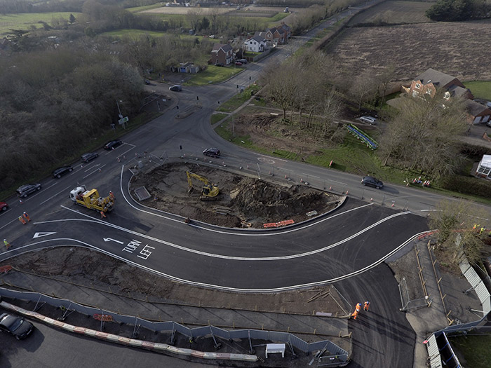
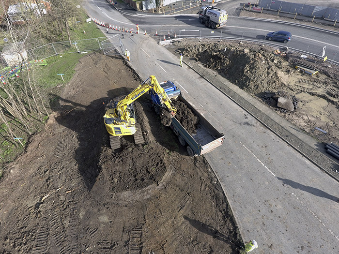
Drone surveys in the construction industry will help you monitor and share information with colleagues, managers and customers. The photos can provide evidence of your site’s progress giving comparisions over time.
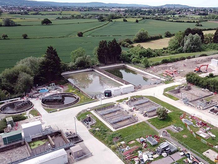
Aerial photographs of your buildings, water towers and any other asset can be an invaluable tool towards helping you monitor condition, plan your maintenance and identify concerns before they become a major problem.