Working for you
We will talk with you about what you require and what photos/videos and information you need to obtain (after discussing the job spec & drone safety briefing). There will be safety checks and calibrations on the drones that need to be carried out to make sure everything is operating as it should.
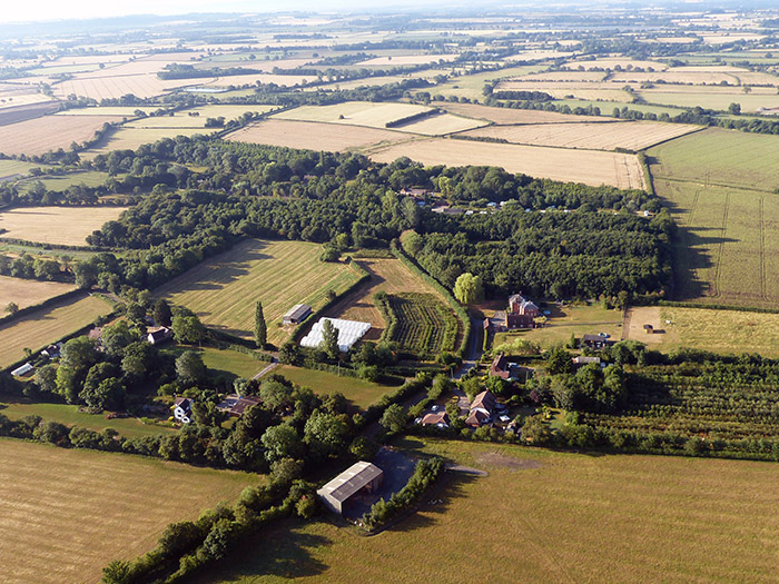
Your Location/site
Before we start, we need to do a site survey & risk assesment to familiarise ourselves with the geography of the site. We will also check that there is adequate satellite coverage to operate our drones’ GPS. We will need to cordon off an area to set up a take off & landing zone for the drone in case you have visitors to your site, and we will put up signs warning & informing of drone activity.
Ownership
It is essential that the landowner’s permission is obtained before any flight – if you are not the landowner, then contact must be made before we can start work.
Near an airfield or airstrip?
There are restrictions on operations within two and a half nautical miles of an aerodrome and additional permissions may need to be sought. We have details of listed airfields, but it may speed things up if you mention any proximity to airfields when you talk to us about your requirements.
Weather conditions
We always try to carry out flights to suit you but, with any outdoor work, there will be occasions when it would not be safe or suitable to fly. In these cases, we will have to reschedule.
Your location
In order to operate safely, considerations must be given to other people who may be in the vicinity of the work we are doing for you. If the flight is to take place in areas which are heavily populated, it may be advisable to carry out a leaflet drop in the immediate area to inform and reassure people about the nature and purpose of the flight. We will usually use barriers to prevent people walking underneath the flight path and will do what we can to keep people in the vicinity informed about what’s going on.